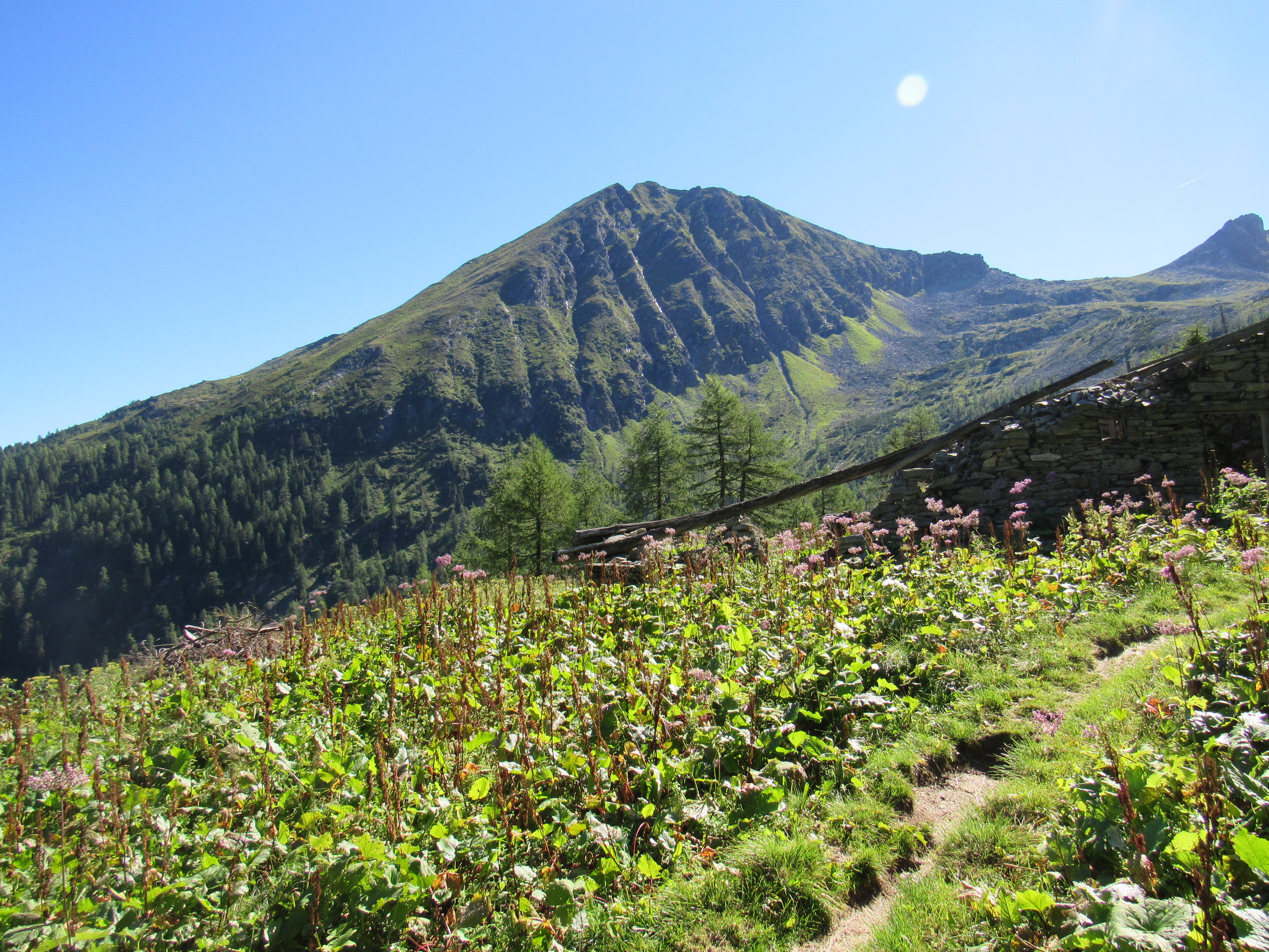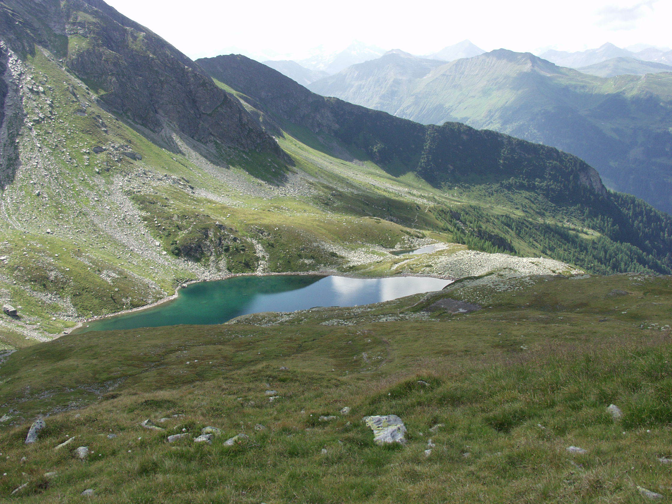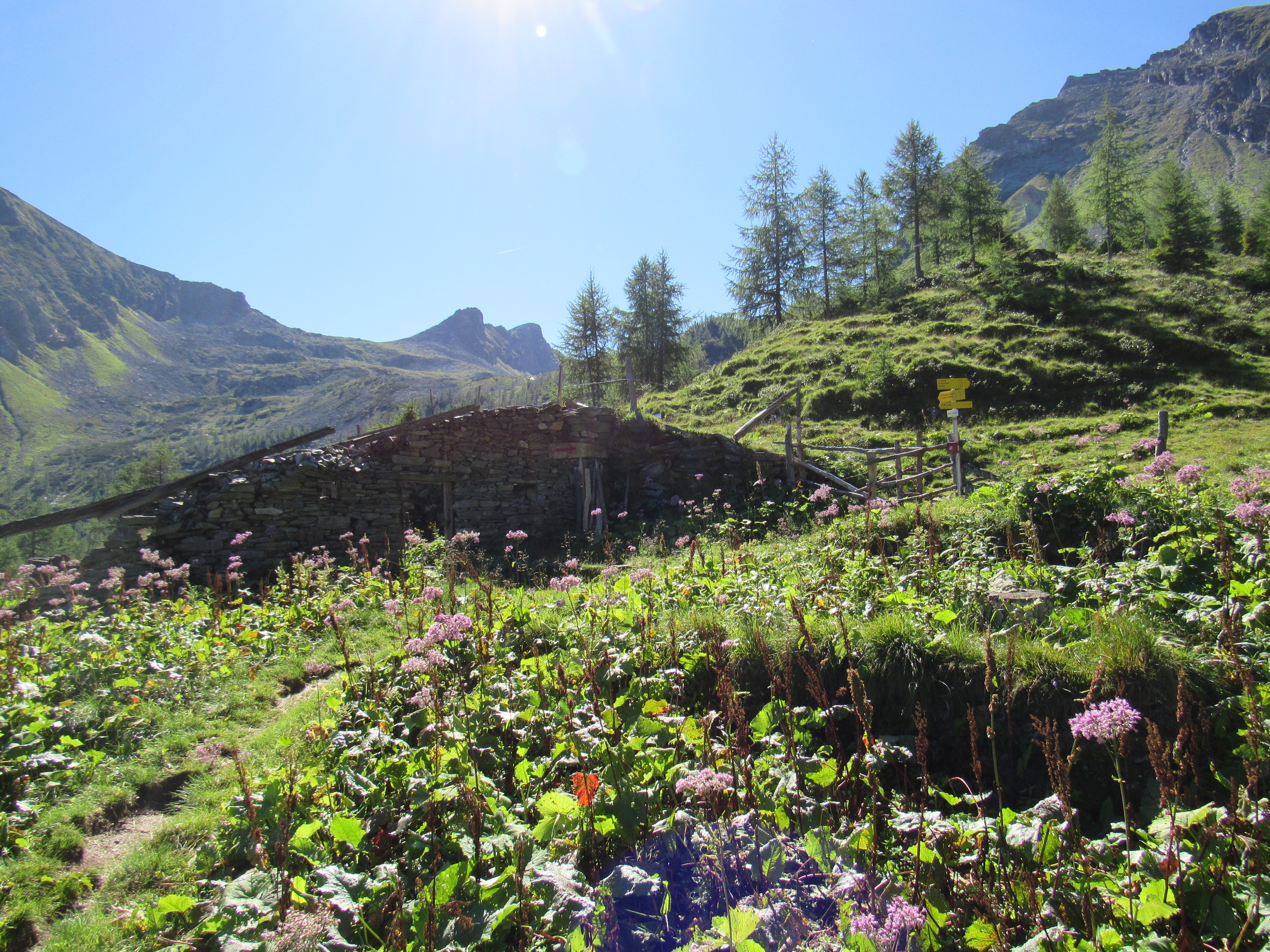



This hike starts near the Bad Gastein railway station. Walk along the main road in the direction of Böckstein and, before the railway culvert, take the road in the direction of Windischgrätzhöhe until you reach the bridge over the Palfnerbach stream. Follow the road to Schachengut and then take the turnoff in the direction of Palfnersee. Go through the forest via the Palfner Heimalm and the Palfnergraben to the Palfner Hochalm. From here, a trail leads to the Palfnersee lake.
Descent as ascent.