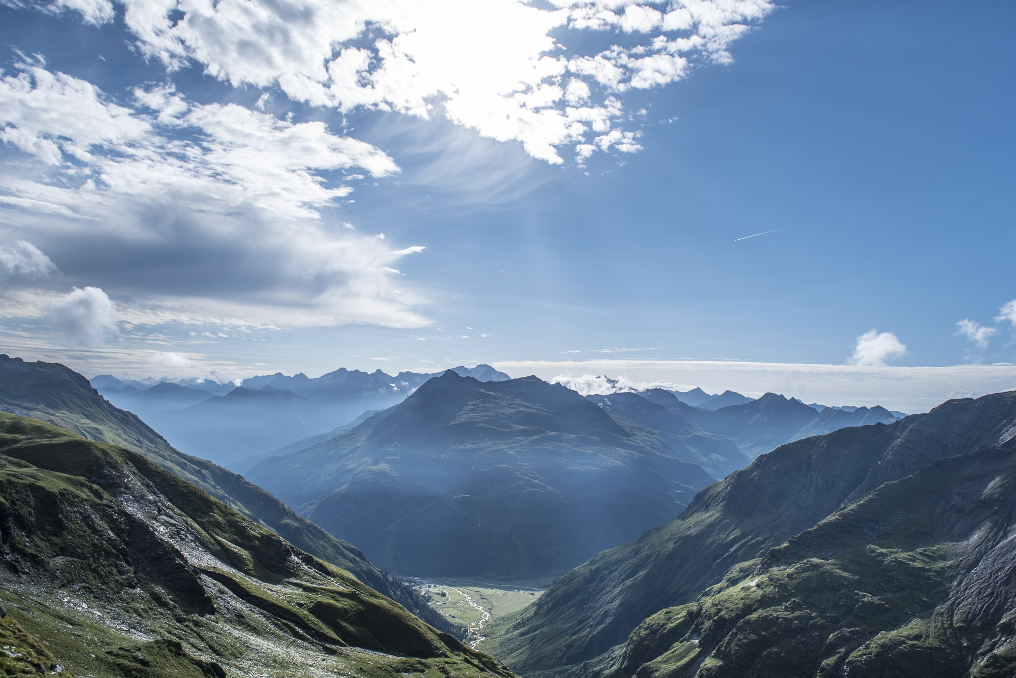
The Schareck lies in the Goldberg Group in the heart of the Hohe Tauern mountains, right on the border between Carinthia and Salzburg. Located to the southwest of the summit is the Mölltal Glacier ski area. This tour sets out from Sportgastein and takes you along the Neuwirtsteig up the eastern ridge with short climbing sections. After this you will reach the Aperes Schareck. From there, you will make your way via the Aperes Schareck and glacier to the summit of the Schareck at 3.123 m. The descent takes you back the same route.
-
Gastein Valley
-
Ski & Mountain
-
Health & thermal spas
-
Experiences & Events
-
Service
-
My Gastein experience