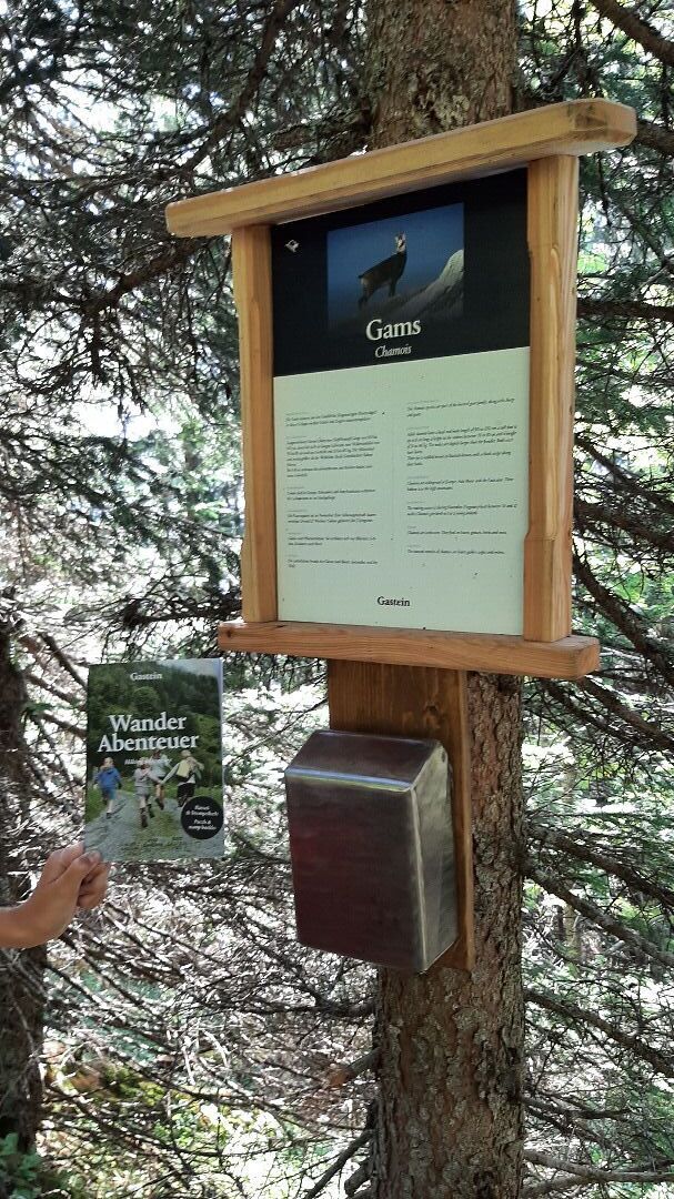
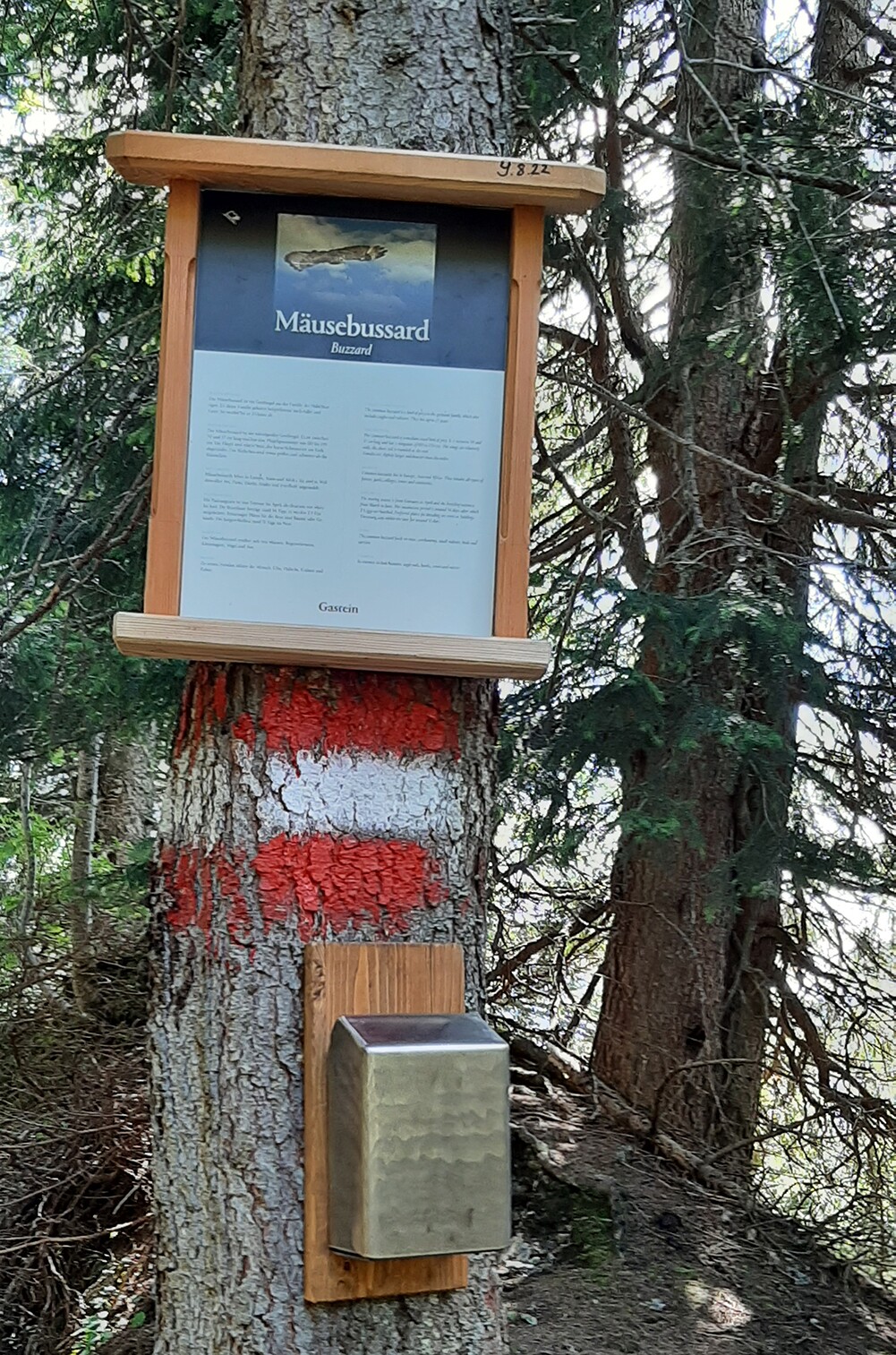
Starting from the summit station of the Fulseck cable car, you hike along the biotope trail along many ponds and power spots to the Arltörl. A chapel marks one of the oldest crossings into the Gastein Valley. The path leads left through the forest in the direction of Grabnerhütte. Along the way you will be informed about native animals on display boards. Be attentive, maybe you will discover one of them here or there.
For the little hikers there are stamping opportunities in the "Hiking Adventure" booklet. The booklet is available directly from the Dorfgastein mountain railways or from the tourist office.
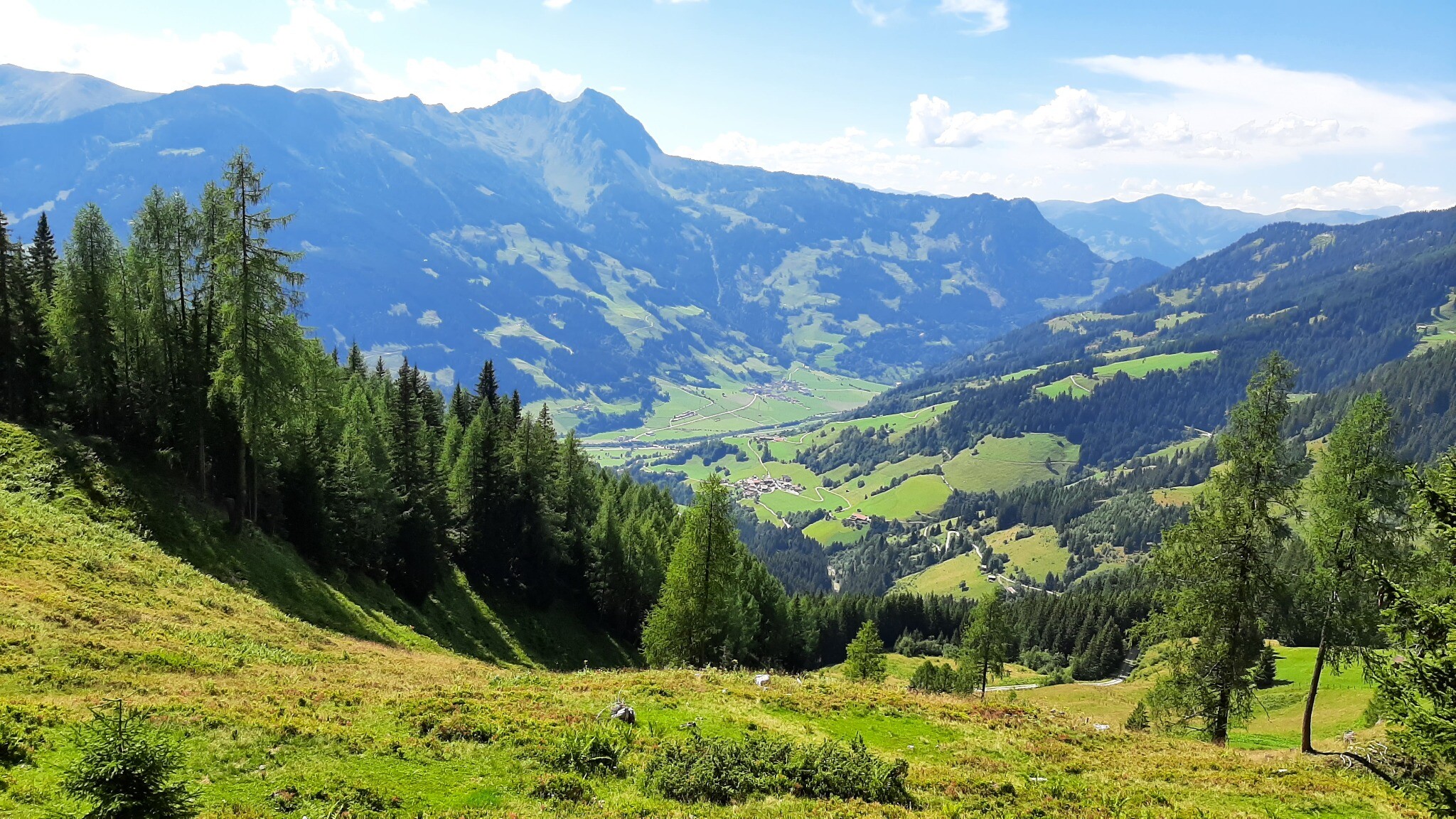
After a rest at the Grabnerhütte, follow the path further to the middle station of the Gipfelbahn Fulseck.