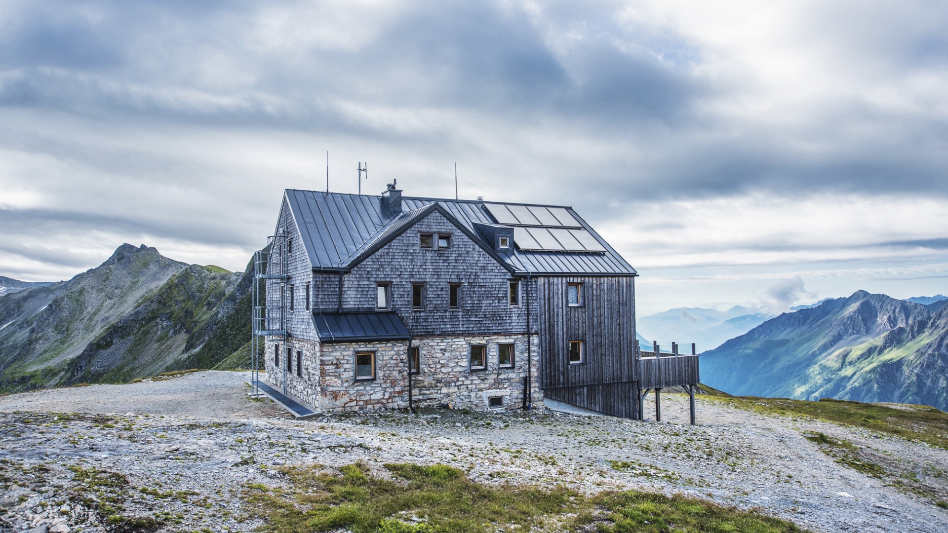
In the high altitude of Sportgastein, you will make your way through alpine pastures until you reach the far end of the valley bottom. Via the so-called Eselkar, the trail takes you through a series of switchbacks up to the Niedere- or Mallnitzer Tauern peaks. This pass into Carinthia was known even during Celtic times and was also used by the Romans. Only with the opening of the Tauernbahn rail line in 1909 was travel has been made easier between Carinthia and Gastein.The guided tour leads to Mallnitz and you will take the Tauernschleuse back to Böckstein.
-
Gastein Valley
-
Ski & Mountain
-
Health & thermal spas
-
Experiences & Events
-
Service
-
My Gastein experience