This pleasant hike begins right in the center of Bad Gastein, not far from the Stubnerkogel cable car station. You’ll first follow a small road through a quiet residential area before joining a wide forest track that gently ascends through shaded pine woods.
The trail climbs steadily in soft switchbacks, making it manageable even for less experienced hikers. Along the way, scenic viewpoints offer beautiful glimpses of the Gastein Valley – perfect for a short break or photo opportunity.
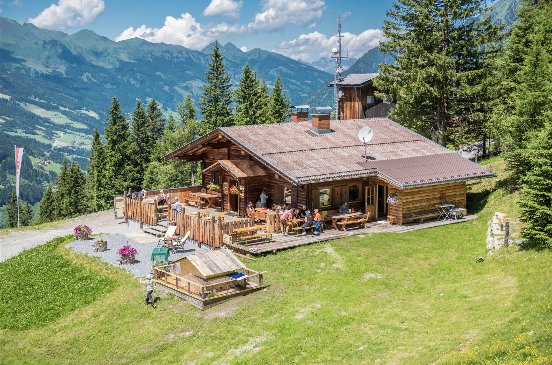
After approximately 3.7 kilometers, you will reach the charming Graukogelalm at around 1,475 meters above sea level – a lovely spot to rest or enjoy a snack, depending on the season and hut operation.