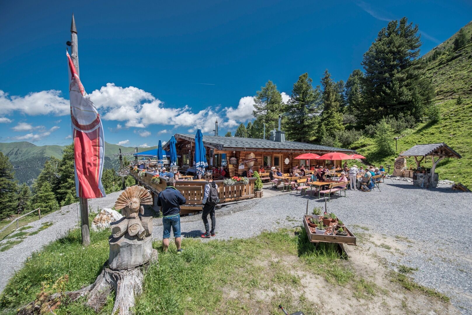
The hike starts near the Bad Gastein railway station. Walk along the main road towards Böckstein and, before the railway culvert, take the road towards Windischgrätzhöhe until you reach the bridge over the Palfnerbach stream. From here, an asphalted road leads upwards; in parts, the old path can still be used as a shortcut. At Windischgrätzhöhe, follow the hiking trail towards Graukogelalm (Graukogel middle station). Continue through the high forest to the Graukogelhütte (mountain station of the Graukogelbahn Section II).
Descent as ascent or descent with the Graukogel cable cars.