

-
Gastein Valley
-
Ski & Mountain
-
Health & thermal spas
-
Experiences & Events
-
Service
-
My Gastein experience


Step by step towards mountain bliss
Long-distance hiking from hut to hut
The Salzburger Almenweg trail
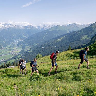
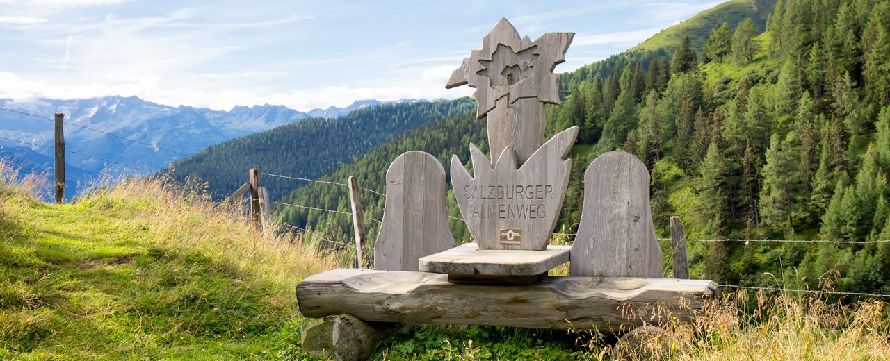
The Salzburger Almenweg is a tribute to the diversity of Salzburg’s mountain landscapes. Stretching over 350 kilometres, it leads through the High Tauern mountains, across gentle alpine pastures, past mountain lakes and into a world that smells of fresh hay and crisp mountain air.
The section through the Gastein valley is particularly impressive: Over nine stages, hiking enthusiasts can experience the full range of this unique region – from panoramic high-altitude trails and rustic huts to idyllic mountain valleys.
Key facts at a glance
- Total length: approx. 350 km
- Stages: 25 in total, 7 of them through Gastein
- Difficulty: easy to moderate; shorter stages are also ideal for families with children
- Best season: June to September
- Refreshments: more than 100 mountain huts along the route
- Highlights: picturesque mountain panoramas, traditional landscapes and impressive waterfalls
All Gastein stages of the Salzburg Alpine Trail
Seven stages of the Salzburg Alpine Trail lead through the Gastein Valley and on into the Großarl Valley. The trail begins near Gastein with the stage to Dorfgastein and then gradually leads deeper into the Gastein mountains:
Stage 4: Böndlsee – Lend – Dorfgastein
This stage leads into the Gastein Valley. Starting in Goldegg , the route passes through Lend, the Kögerlalm, and the Amoseralm before reaching Dorfgastein. This makes it the starting point for anyone who wants to experience the Salzburg Almenweg trail around Gastein.
Stage 5: Dorfgastein – Biberalm
From Dorfgastein, the trail leads through the Dorferwald forest up to the Heinreichalm and continues via the Präau Hochalm to the Biberalm. This stage takes hikers from the valley into the alpine pasture region and combines the trailhead in Gastein with classic mountain hut charm.
Stage 6: Biberalm – Leidalm – Schlossalm Mountain Station
After the Biberalm, the route continues to the Schlossalm mountain station. This stage takes you higher into the Gastein mountains and is ideal for anyone who wants to combine alpine trails, scenic views, and a tour that includes a ride on the mountain railway.
Stage 7: Schlossalm Mountain Station – Angertal
From the Schlossalm, the Salzburger Almenweg trails across the ski area all the way to the Angertal. Those looking for a more challenging route can hike via the Kreilingersteig to the Gadaunerer Hochalmen.
Stage 8: Angertal – Bockhartsee – Sportgastein
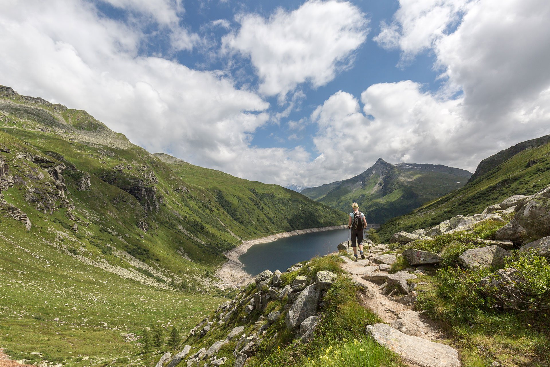
This stage leads from the Angertal valley past Lake Bockhartsee to the valley floor of Sportgastein. It is one of the most scenic sections of the Gastein Valley, as it combines a mountain lake, a high valley, and vast alpine expanses.
Stage 9: Sportgastein – Bad Gastein
From Sportgastein, the route follows a historic mule trail past the Astenalmen and continues along the Empress Elisabeth Promenade to Bad Gastein. This stage connects the high-alpine landscape of Sportgastein with the unique charm of this traditional spa town.
Stage 10: Bad Gastein – Tofernscharte – Hüttschlag
The final stage in the Gastein Valley begins in the center of Bad Gastein. It continues over the Poserhöhe and the Tofernscharte into the Großarl Valley toward Hüttschlag. As a route connecting two valleys, it requires careful planning and sufficient stamina.
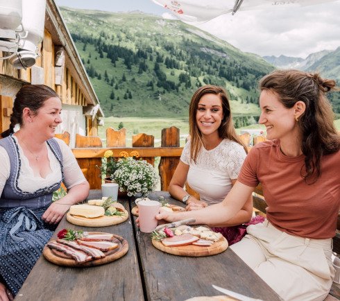
Culinary stops at more than 100 mountain huts
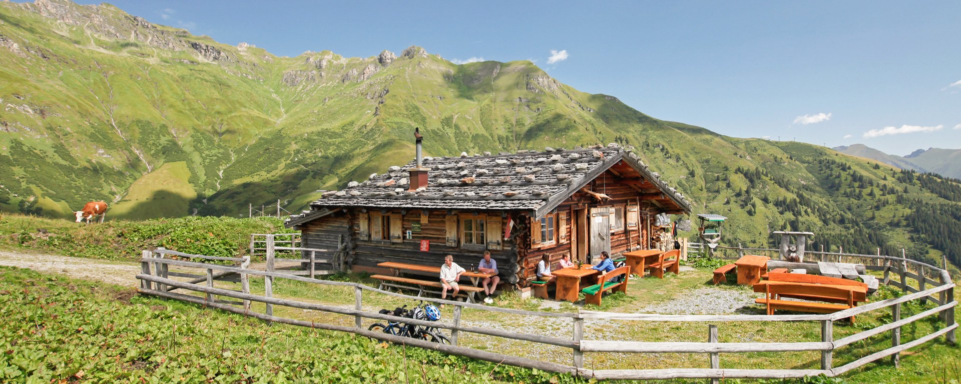
Few long-distance hiking trails combine nature and culinary pleasure as perfectly as the Salzburger Almenweg. More than 100 serviced alpine huts open their doors along the route, serving fresh homemade produce and keeping alpine traditions alive.
In the Gastein valley, the trail leads to some particularly special stops, including Amoseralm, Heinreichalm and Gamskarkogelhütte, the oldest mountain refuge in the Eastern Alps. Up there, you can experience hospitality as genuine as the surrounding landscape. And with every bite of Kasnocken, you will realise: These huts are not just places to rest – they’re living pieces of alpine culture.
Hiking joy for the little ones
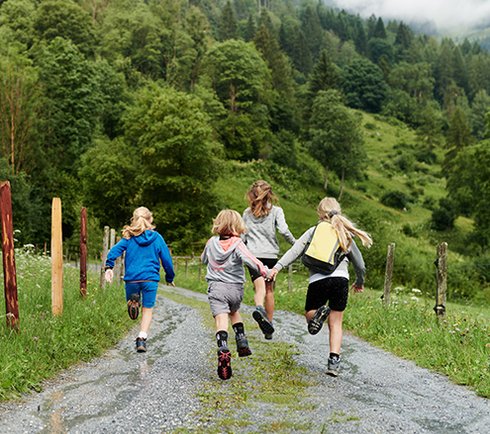
The Salzburger Almenweg is a special adventure for children, too. Many mountain huts feature petting zoos and spacious play areas that turn every hiking break into a highlight. Add to that new culinary discoveries from fresh buttermilk to homemade Bauernkrapfen, and the journey from hut to hut becomes a playful exploration for children – and an unforgettable experience for the whole family.
Easy navigation
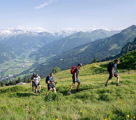
Planning your stages along the Salzburger Almenweg is simple with the interactive map. It shows the exact route, elevation profiles, walking times and hut locations. GPS data can also be easily downloaded to your smartphone. On site, clear trail markings featuring the distinctive blue gentian symbol ensure that you always stay on the right path.
Speaking of safety: As alpine weather can change quickly, it’s always advisable to check the weather forecast regularly, also on the Salzburger Almenweg. For extra safety and local insight, you can book a guided hike with experienced professionals.
Convenient access by public transport and cable car
The Gastein valley is easily accessible by train and bus, and regional buses within the valley make it easy to join or leave the trail at various points. In addition, cable cars such as Fulseckbahn, Schlossalmbahn or Stubnerkogelbahn provide quick access to higher sections. This makes it possible for families and less experienced hikers as well to enjoy the Almenweg one stage at a time.
The Almenweg hiking pin: motivation to collect
Along the way, hikers can have their special passes stamped at various huts and stations. The more stamps you collect, the higher your award: the Almenweg hiking pin in bronze, silver or gold. Featuring the distinctive gentian design, the pin is not only a reward for your endurance but also a charming keepsake to remember the alpine huts you’ve visited.
Hike first, then relax
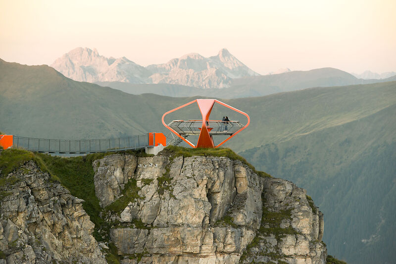
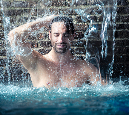
After adventurous days on the Salzburger Almenweg, well-deserved relaxation awaits. The Gastein valley is famous for its thermal spas: A Alpentherme, saunas and relaxation areas offer soothing recovery, while Felsentherme impresses with its panoramic outdoor pool, where you can enjoy breathtaking mountain views as you bathe.

Frequently Asked Questions About the Salzburg Almenweg
How many stages are there on the Salzburg Almenweg?
The Salzburg Alpine Trail consists of a total of 25 stages. Seven of them run through the Gastein Valley.
Which sections of the Salzburg Alpine Trail are located in Gastein?
Seven stages of the Salzburg Almenweg trail pass through Gastein:
- Stage 4 — from Böndlsee to Dorfgastein
- Stage 5 — to the Biberalm
- Stage 6 — via the Leidalm to the Schlossalm
- Stage 7 — into the Angertal
- Stage 8 — via Bockhartsee to Sportgastein
- Stage 9 – from Sportgastein to Bad Gastein
- Stage 10 – via the Tofernscharte to Hüttschlag
How long is the Salzburg Almenweg?
The Salzburg Almenweg is about 350 kilometers long. The route winds through the Salzburg mountains and connects numerous alpine pastures and huts.
Where does the Salzburg Almenweg begin and end?
The entire Salzburg Almenweg trail is designed as a loop with 25 stages. Stage 1 begins in Werfen, and Stage 25 leads from the Dr. Heinrich Hackel Hut back to Werfen.
How difficult is the Salzburg Almenweg?
The difficulty of the Salzburg Alpine Trail varies depending on the stage. Many sections are easy to moderately difficult, while a few alpine stages require better physical conditioning and sure-footedness.
Is the Salzburg Almenweg suitable for children?
Yes, some of the stages are also suitable for children. Families should choose shorter sections that include access to mountain railways and flexible return options.
How is the Salzburg Almenweg marked?
The Salzburg Almenweg is marked with the blue gentian flower. Interactive maps, GPS data, and local trail signs also help with navigation.
When is the best time to hike the Salzburg Almenweg?
The best time to hike the Salzburg Almenweg is from June through September. Before each stage, it’s a good idea to check the weather forecast and the opening hours of the huts.
You might also be interested in