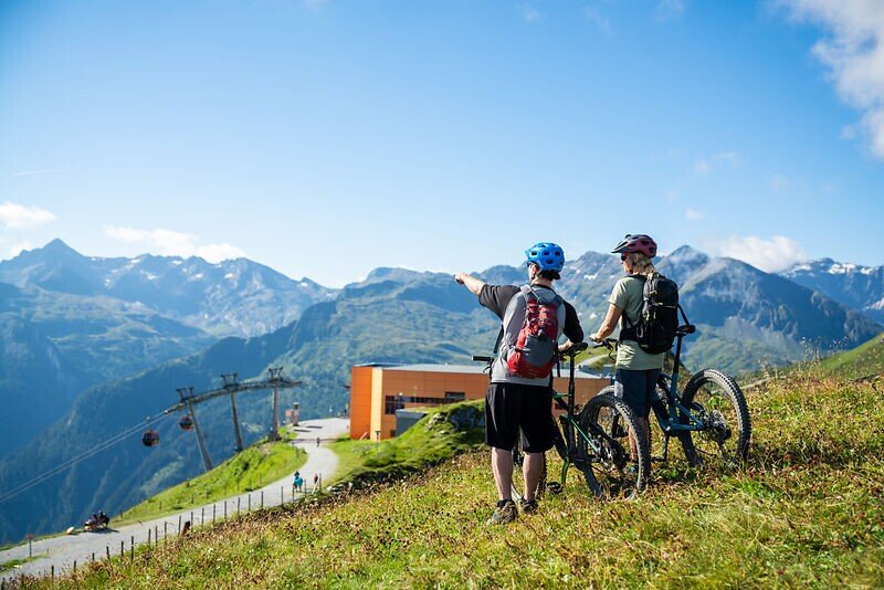
The starting point is at the bike starting point in the centre of Bad Hofgastein. Follow the signs up to the Angertal valley. At the Angertal ski centre, the climb begins next to the ski slopes along the gravel road past the Stubnerkogel middle station to the summit of the Stubnerkogel. There are numerous attractions there, such as the 140 metre long suspension bridge or the Talblick viewing platform.
Tickets Yoga Dagen
-
Regio
-
Ervaringen
-
Vitaliteit
-
Evenementen
-
Service