Through
three villages that are as diverse as the landscape that surrounds them: Here,
hikers experience the kind of relaxation that can only be found in the great
outdoors. Every metre hiked strengthens the body - and gives new strength to
the soul. On the Gastein Trail, this experience can be felt like nowhere else.
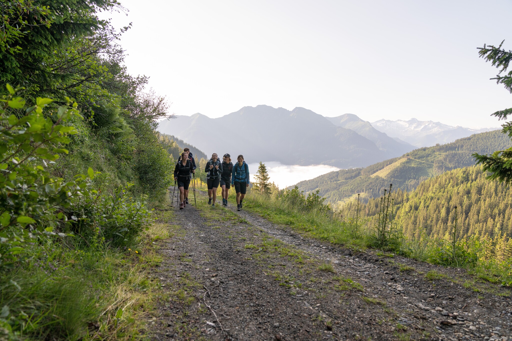
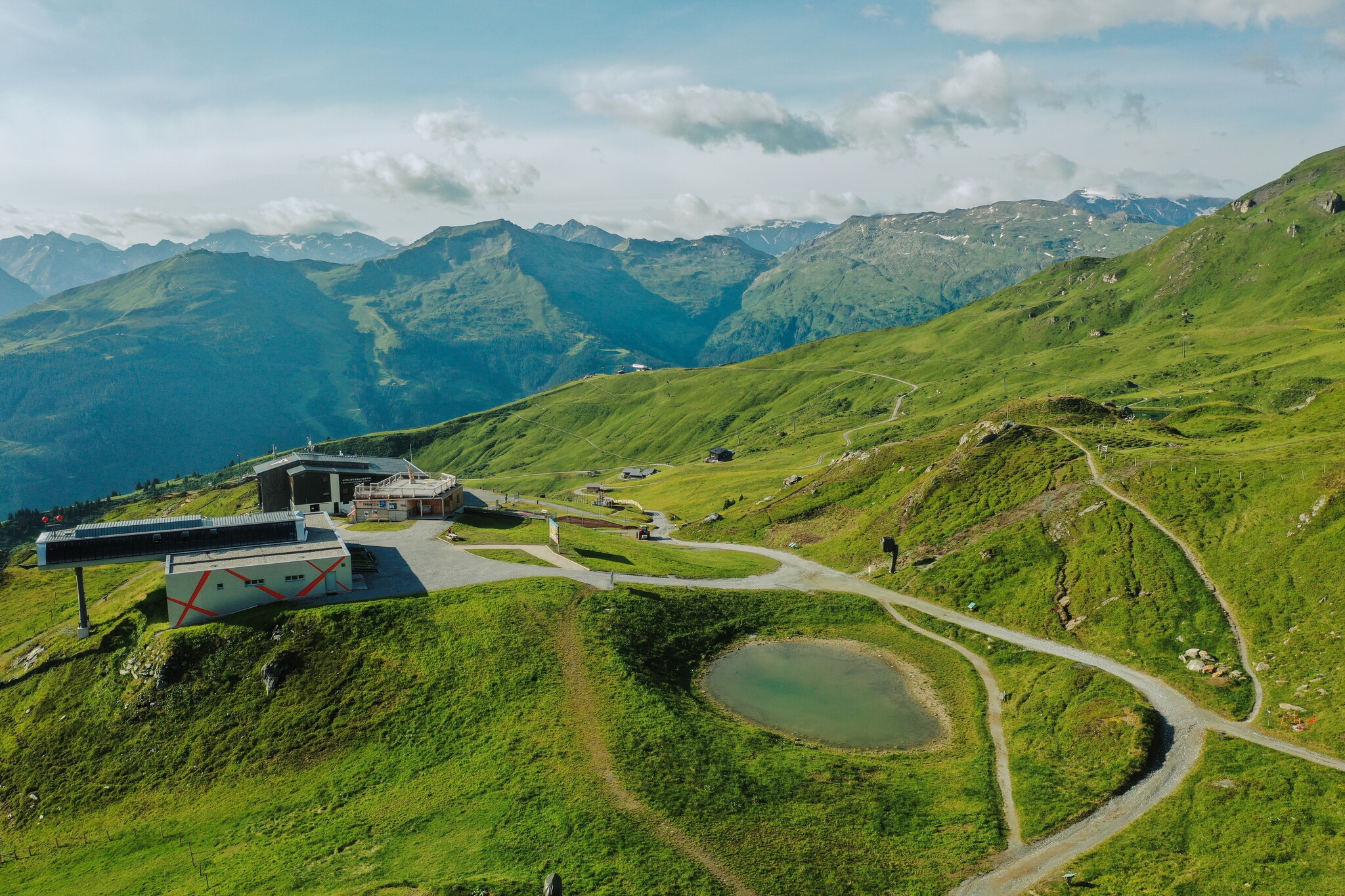
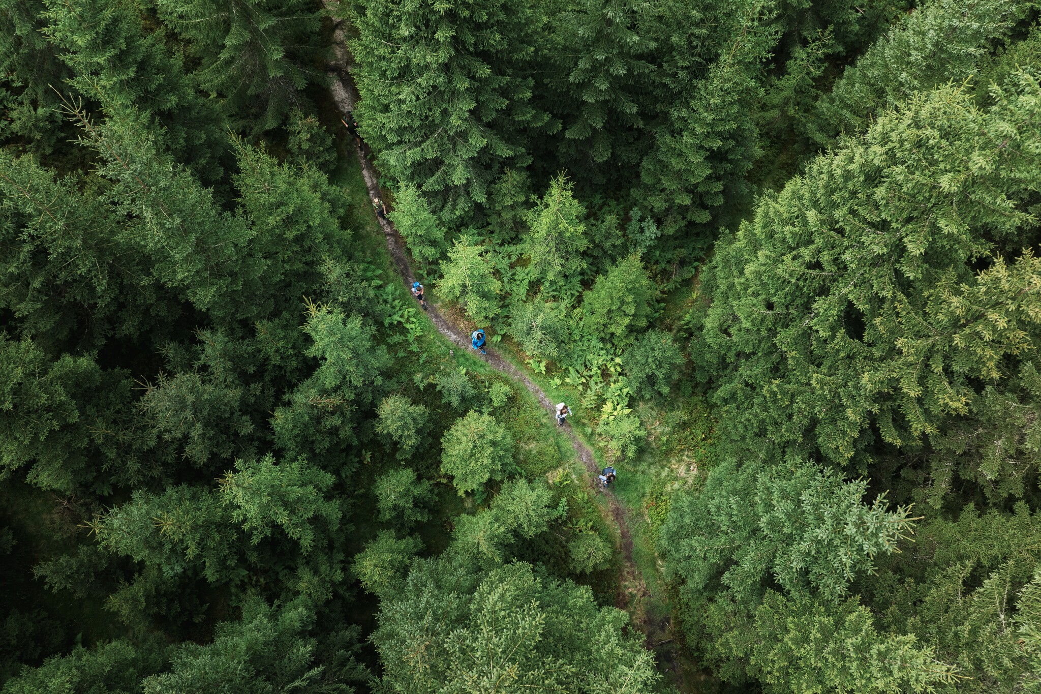
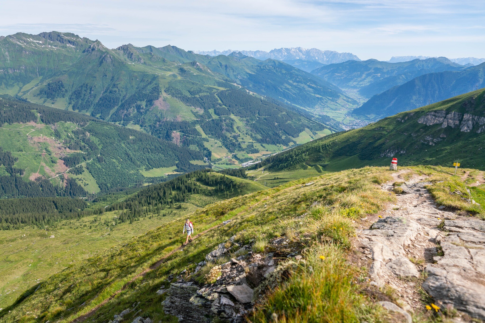
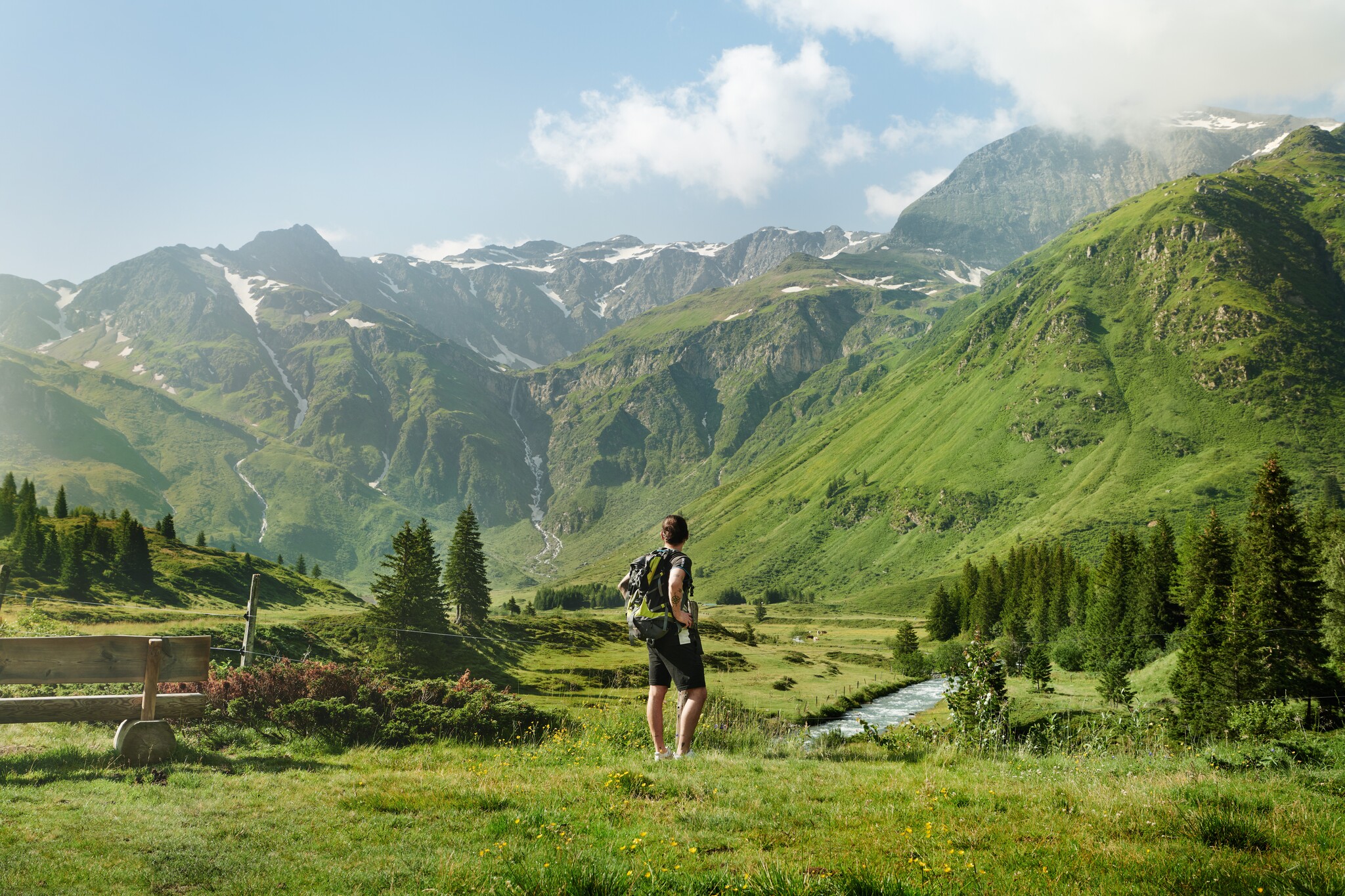
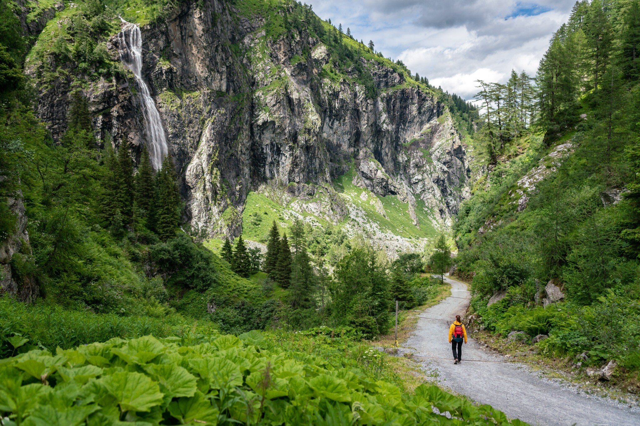
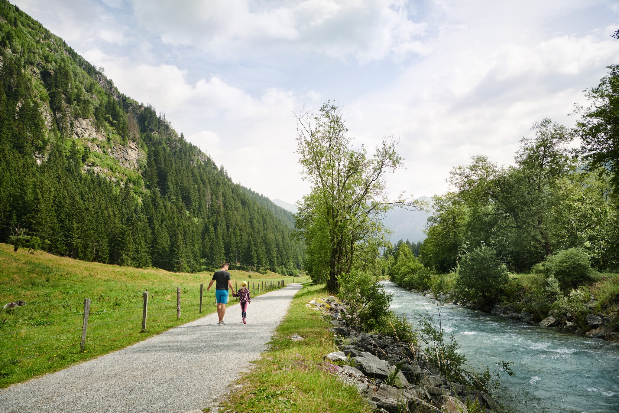
If you approach the Hohe Tauern from Dorfgastein, along the western side of the
valley, you will experience what was once reserved for pioneers and explorers:
hidden basin landscapes that provide magnificent scenic experiences. And steep
grassy slopes that combine high alpine terrain with charming promenades. The
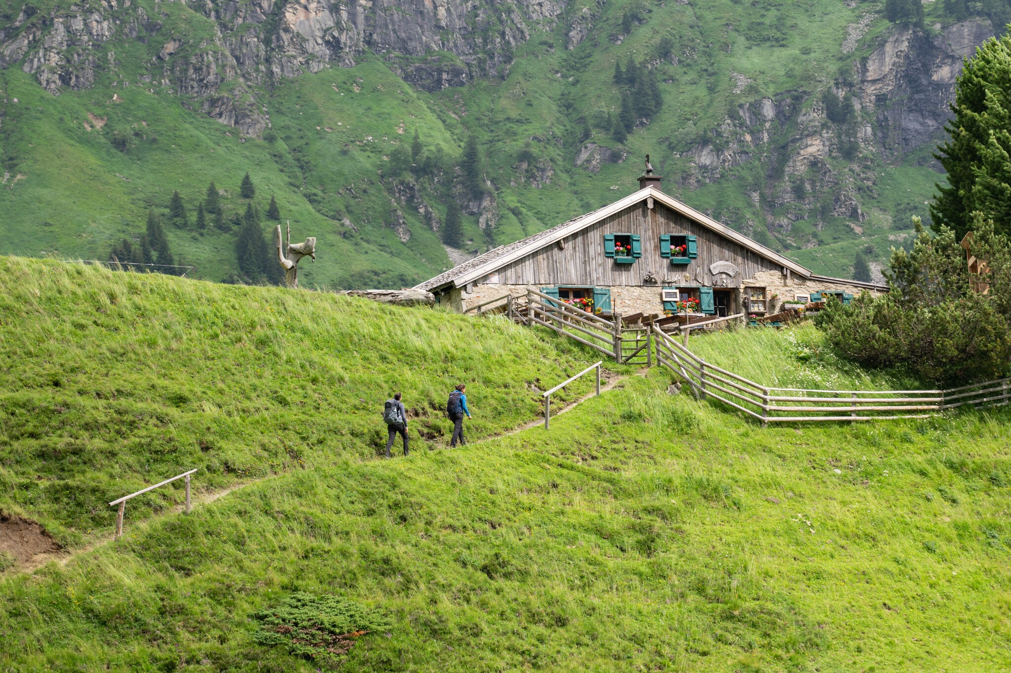
Gastein Trail combines the idyllic alpine landscape high above the valley with
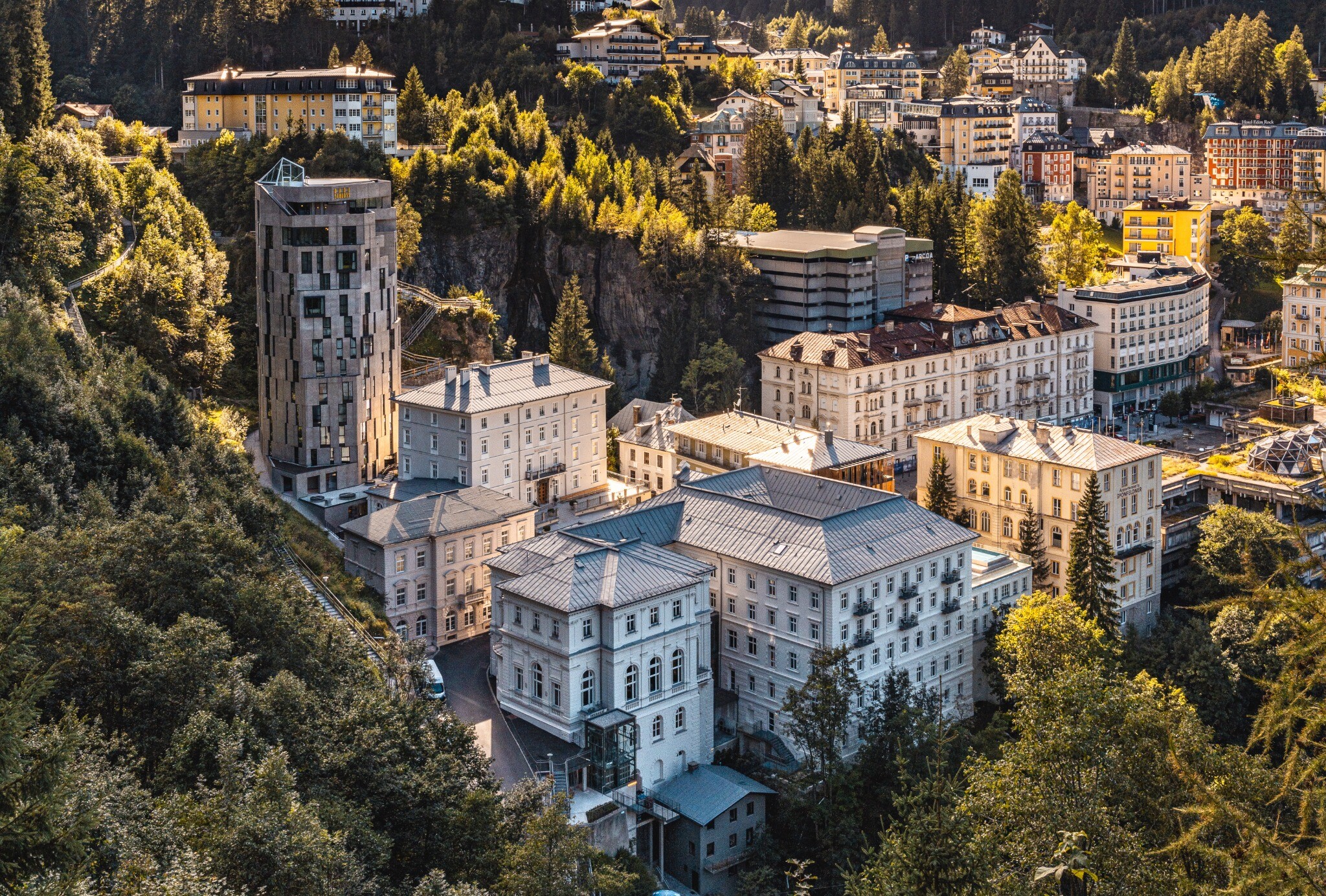
the charm and history of the famous spa resorts of Bad Gastein and Bad
Hofgastein, which attracted emperors and princes back in the pioneering days of
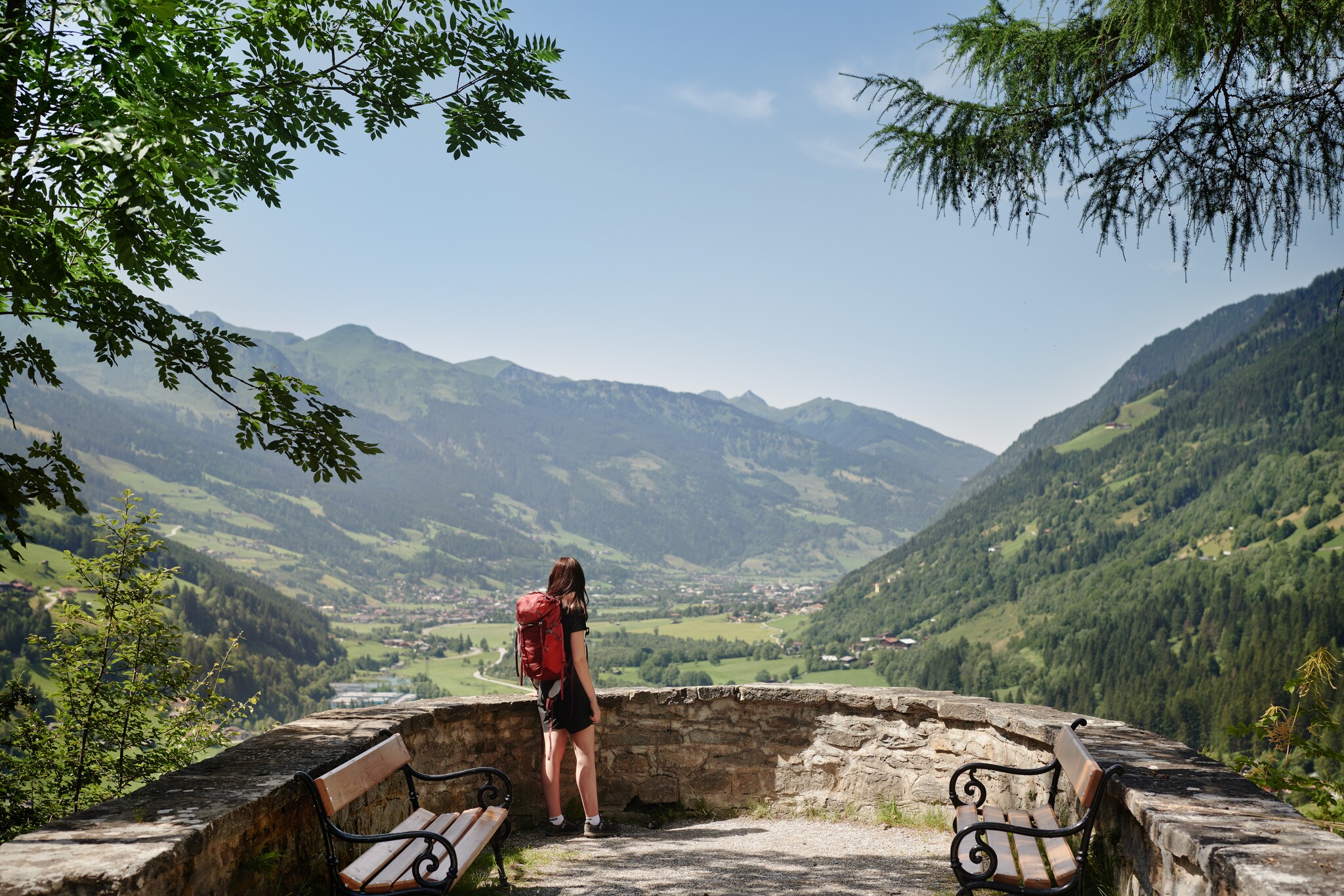
tourism, in 7 easily manageable daily stages. There are 87 kilometres and 4,587
metres of altitude to hike, with every metre of hiking revealing a little more of
the fascination of this region: Where the idyll of the alpine pastures and the
unspoilt nature of the national park meet the monarchical charm of the spa
resorts.