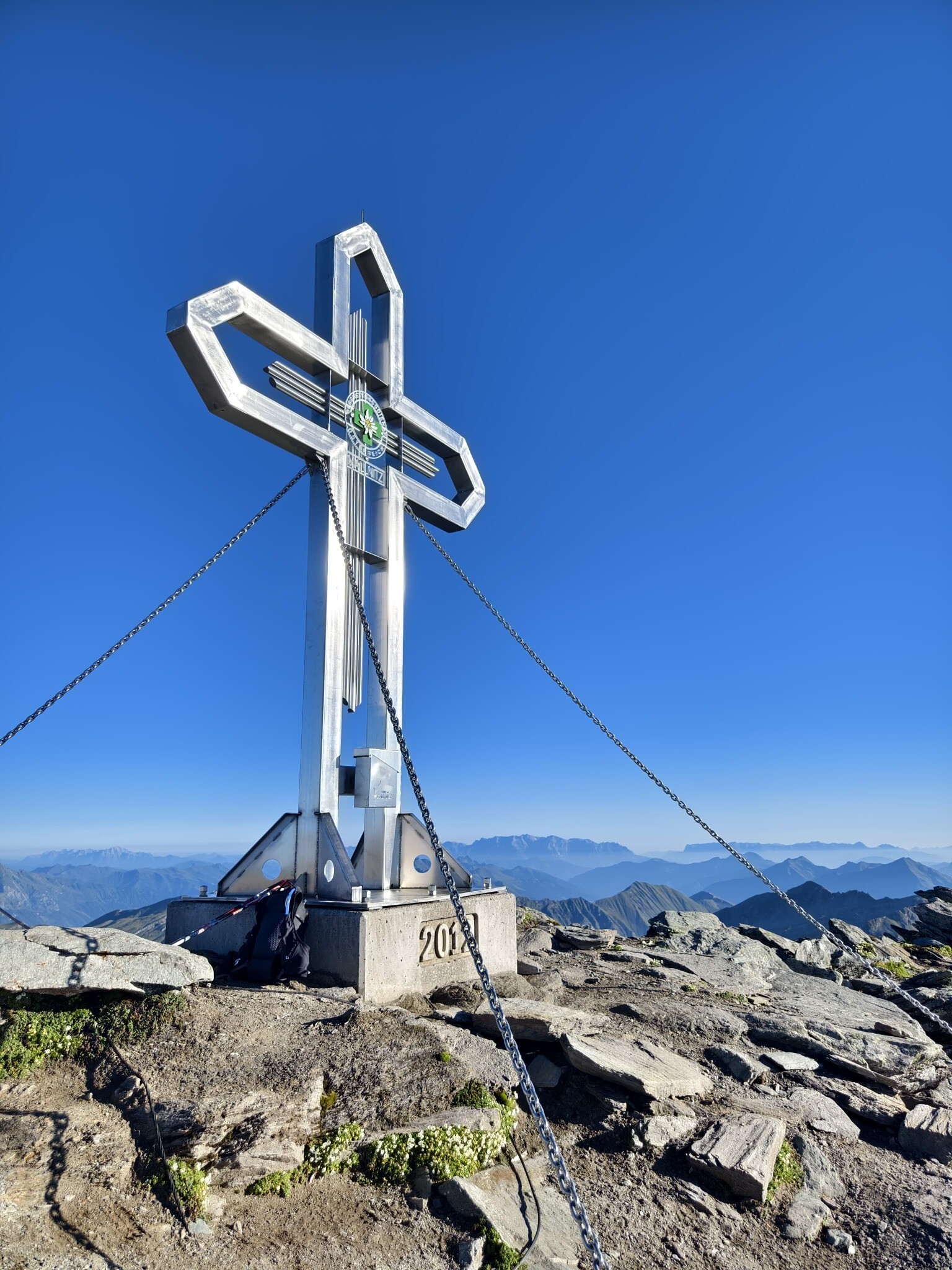
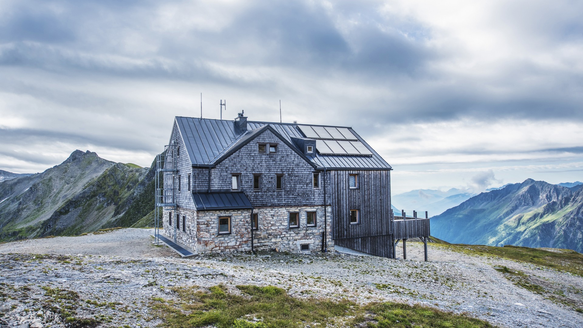
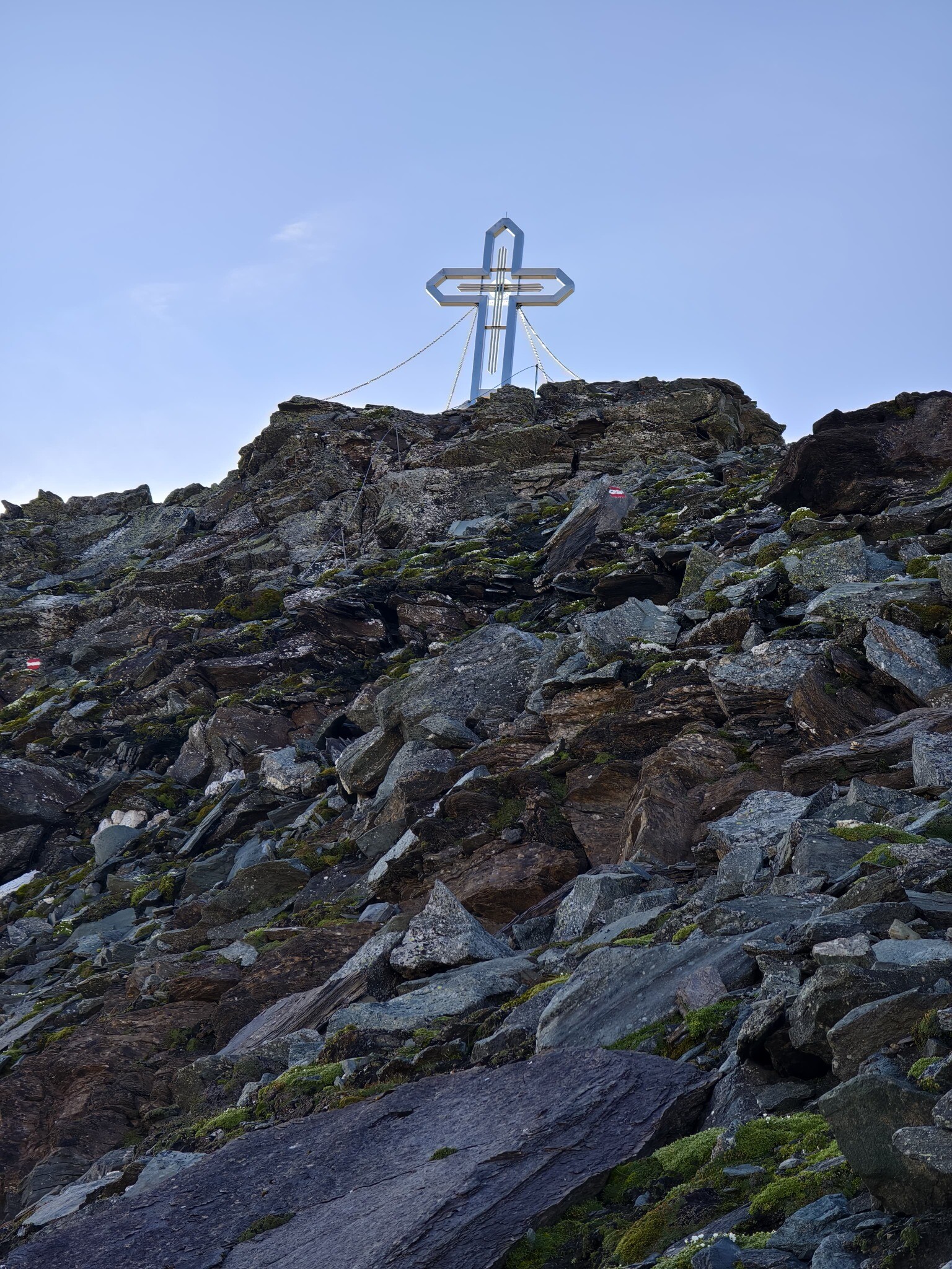
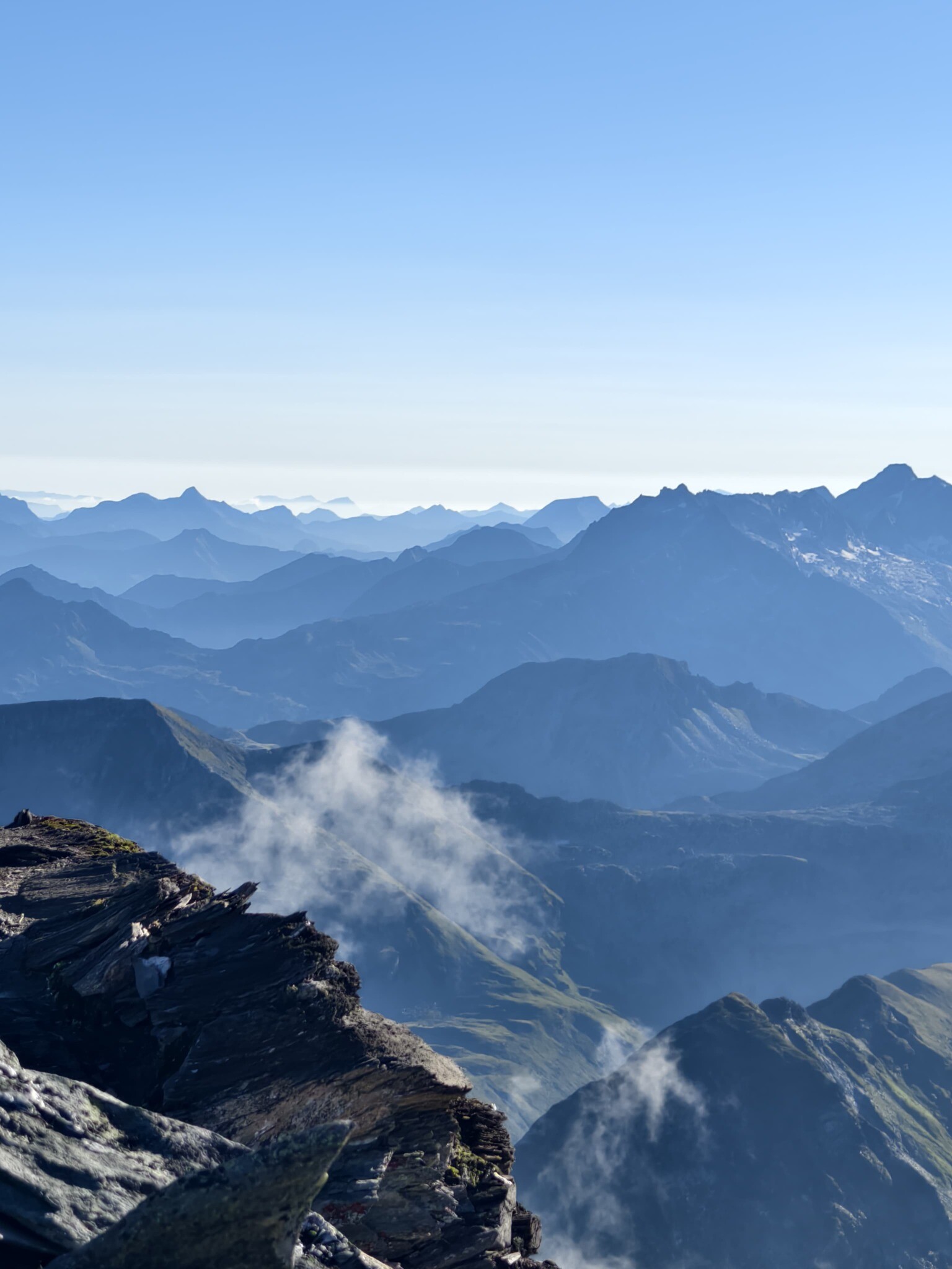
Geiselspitze, Geisslkopf, Gesselkopf, Hohe Geissl and Vorderer Geisselkopf: just a few of the many names associated with this summit. The Hohe Geissel lies on the main Tauern ridge, also marks the border between Salzburg and Carinthia. From the car park in Sportgastein you will go to the valley head and continue via the Eselskar to the Hagener Hütte. After a short break, the hike continues, past the Westerfrölkekogel (2.727 m) and reach the Hohe Geißel with a fantastic view in all directions. The descent is identical with the hike up.
Bilety Dni Jogi
-
Region
-
Doświadczenia
-
Witalność
-
Wydarzenia
-
Usługi