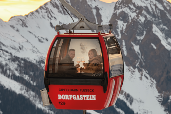
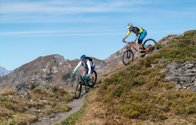
The tour starts in the Dorfgastein municipal park and leads past the tourist office in the direction of Berghotel Hauserbauer. Shortly after the Hauserbauer hiking starting point, you take the Gruberwaldweg trail, which runs through shady forests. After a moderate ascent, you pass the Mühlwinkelhütte before the trail continues to the Dorfgasteiner Bergbahnen middle station.
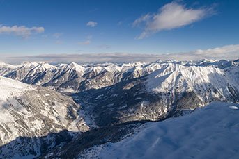
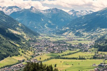
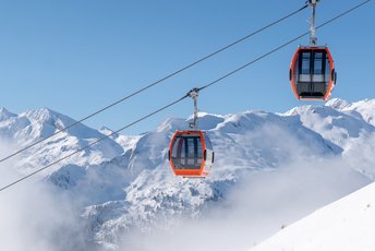
From there, the route follows the forest road, which steadily gains altitude and offers ever more impressive views. After the last challenging section, you reach the mountain station, where a breathtaking panorama opens up over the Gastein Valley. Whether a cosy stop for refreshments or a rapid descent into the valley - this tour combines a sporting challenge with a unique experience of nature.
