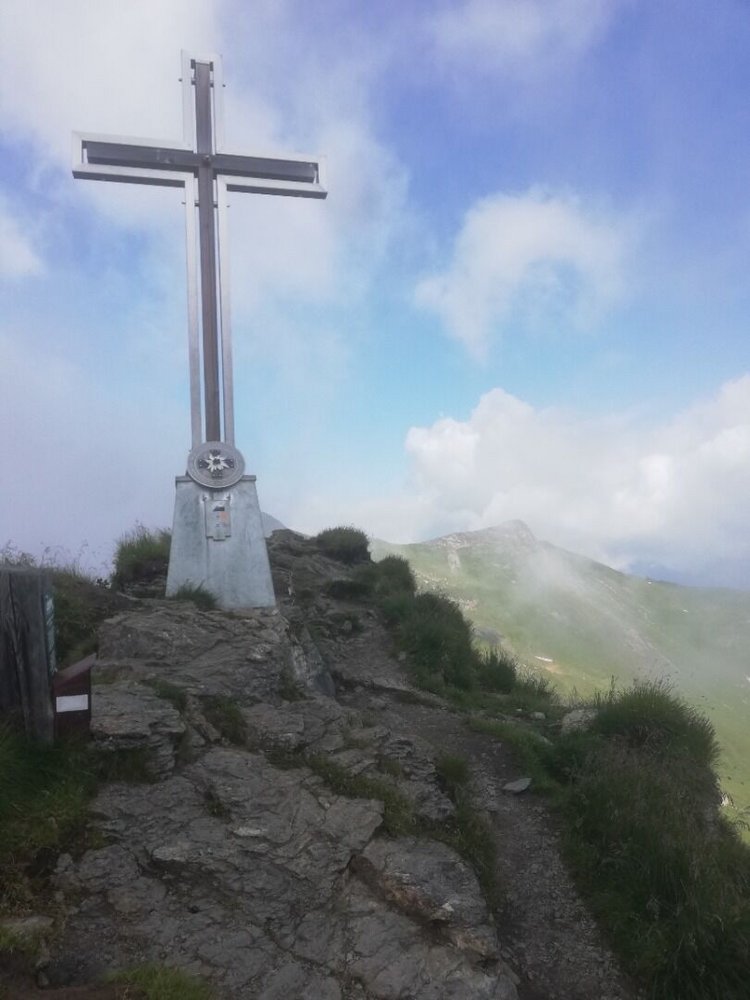
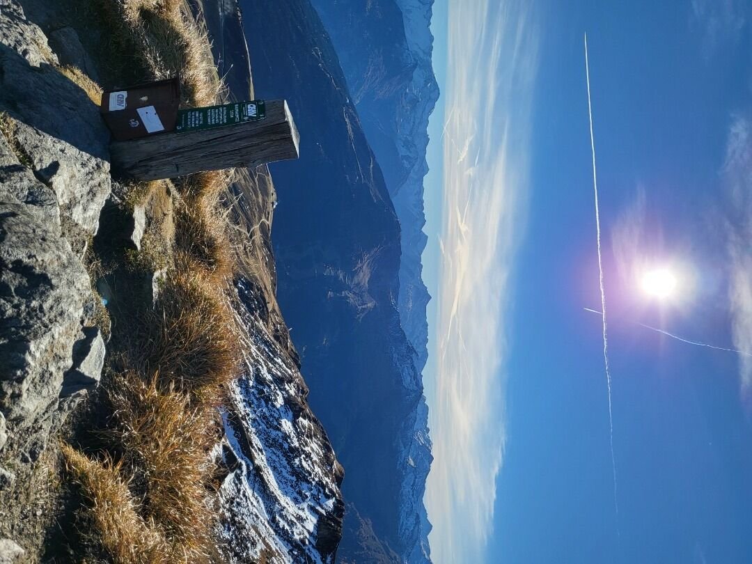
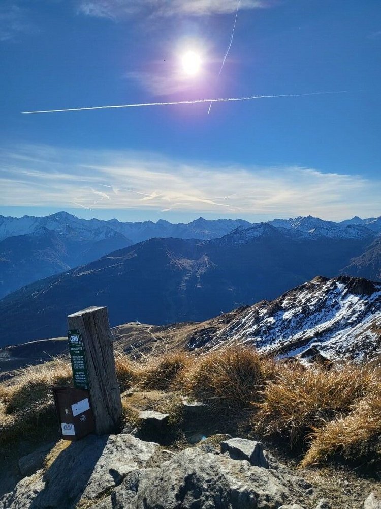
The new, shiny summit cross on the Mauskarspitze is visible from all the way over at the Schlossalm mountain station. Passing through gentle plateau landscapes, the trail leads you uphill towards the top. The views are breathtaking – with the snow-capped peaks of the Hohe Tauern to the south, the highest “Grass Mountain” in Europe to the east – the Gamskarkogel – and the Hochkönig Massif to the north. With clear visibility, you might even catch a glimpse of the Dachstein. And our secret tip for your inner “rock jock”: A fixed-cable via ferrata that runs up the western side of the Mauskarspitze.
Billetter til Yoga Days
-
Region
-
Oplevelser
-
Vitalitet
-
Begivenheder
-
Service